Keeping Track of our Progress

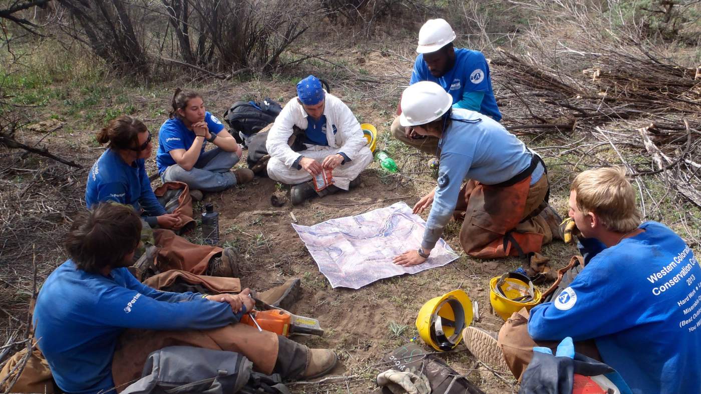
Restoration is a process that happens over time, almost always extending beyond the timelines of individual projects. To know if our efforts are successful or on the right path, we conduct monitoring at sites where work has been done or will soon occur.  When monitoring is conducted and the data are analyzed over time, we can measure how a site has changed and plan for future restoration projects. 

Read more to learn about a few types of monitoring that we do and the geodatabases that we maintain for our partnerships and others. 

planning

Monitoring Strategies

Monitoring takes many forms, and the best monitoring approach for a project is determined by individual project goals. 

  • Photopoint monitoring is an easy and effective method of monitoring vegetation and ecosystem change as well as providing visual documentation of project development.
  • Research monitoring uses protocols that provide more in-depth data of smaller geographic areas and is more commonly conducted when specific questions are being asked along with restoration efforts. 
  • Rapid monitoring is an efficient method to gain the minimum information needed to track progress on a site and inform annual planning and implementation of management activities. 
sparky

Maintaining Geodatabases

Since data associated with long-term riparian restoration efforts can accumulate quickly, it is important to collect and organize it in a consistent manner. As such, RiversEdge West created a watershed-specific geodatabase that contains unique layers consistent across data types. If you are conducting vegetation management, we recommended using a geodatabase to efficiently organize, track, and analyze restoration data. Myriad data types can be housed in a geodatabase including:

  • Monitoring Data
  • Restoration actions (e.g., tamarisk removal, active revegetation)
  • Photopoint locations
  • Access points, campsites, and other logistical information 

Long-term restoration efforts will inevitably face staff turnover and shifts in partner participation levels. Maintaining a streamlined geodatabase helps reduce lost institutional knowledge and ensures that new employees and partners have access to the data they need to continue the project. An outward-facing geodatabase that is available online to the public can also help to keep the curious public and interested parties informed of restoration progress. 
 

test body

The 4Rivers Geodatabase, developed by The DIGIT Lab at the University of Utah, is a geospatial database and schema with standardized feature classes and attributes for invasive plant inventorying and monitoring.