Keeping Track of our Progress

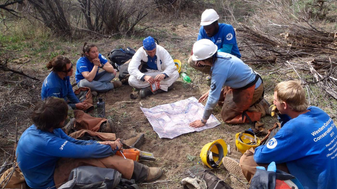
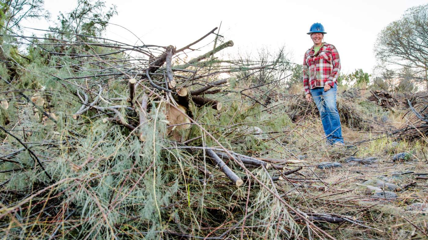
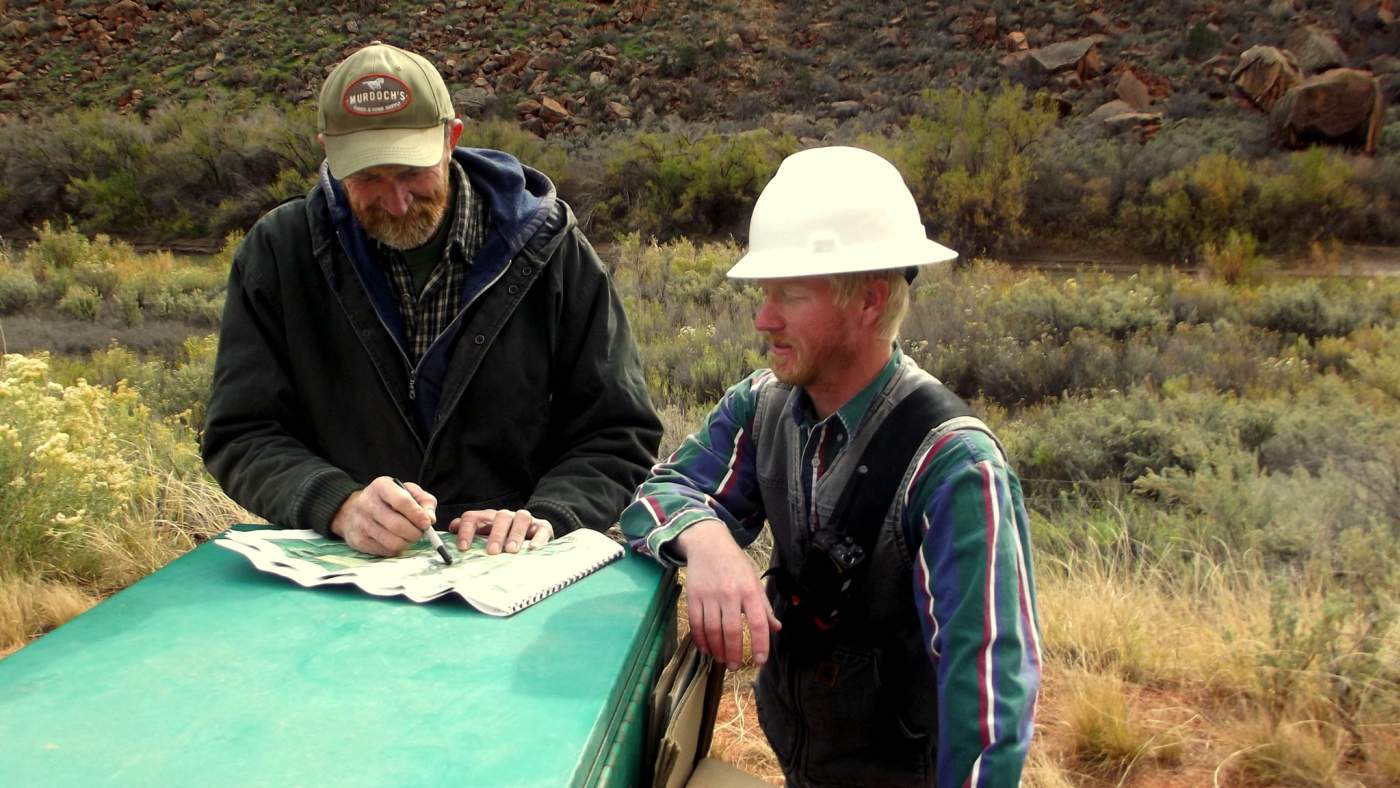
Restoration is a process that happens over time, almost always extending beyond the timelines of individual projects. To know if our efforts are successful or on the right path, we conduct vegetation monitoring at sites where work has been done or will soon occur.  When monitoring is conducted and the data are analyzed over time, we can measure how a site has changed and plan for future restoration projects. 

This data is publicly available to be used for research and for reference. Please let us know if you’d like to use this data for your project. 

Read more to learn about a few types of monitoring that we do and the geodatabases that we maintain for our partnerships and others. 

sara

Monitoring Strategies

Monitoring takes many forms, and the best monitoring approach for a project is determined by individual project goals. 

  • Photopoint monitoring is an easy and effective method of monitoring vegetation and ecosystem change as well as providing visual documentation of project development.
  • Research monitoring uses protocols that provide more in-depth data of smaller geographic areas and is more commonly conducted when specific questions are being asked along with restoration efforts. 
  • Rapid monitoring is an efficient method to gain the minimum information needed to track progress on a site and inform annual planning and implementation of management activities. 
sparky

Developing & Maintaining Restoration Datasets

Since data associated with long-term riparian restoration efforts can accumulate quickly, it is important to collect and organize it in a consistent manner. If you are conducting vegetation management, we recommended using a geodatabase to efficiently organize, track, and analyze spatially-explicit restoration data. Myriad data types can be housed in a geodatabase including:

  • Monitoring Data
  • Restoration actions (e.g., tamarisk removal, active revegetation)
  • Photopoint locations
  • Access points, campsites, and other logistical information 

Long-term restoration efforts will inevitably face staff turnover and shifts in partner participation levels. Maintaining a streamlined geodatabase helps reduce lost institutional knowledge and ensures that new employees and partners have access to the data they need to continue the project. An outward-facing geodatabase that is available online to the public can also help to keep the curious public and interested parties informed of restoration progress. 

rica

Synthesizing 10 years of Data

RiversEdge West helps maintain the 4Rivers Geodatabase, and has customized it for other projects and watershed partnerships. Originally developed by the DIGIT Lab at the University of Utah, the 4Rivers Geodatabase stores and analyzes data for four watershed partnerships across the Colorado River Basin:

These four groups have contributed to this shared geodatabase for almost ten years! RiversEdge West is currently synthesizing these data, with a preliminary report anticipated later this year.  

The data includes standardized feature classes and attributes for invasive plant inventorying and monitoring. Data (e.g. percent cover of native and invasive plants) are collected using the Rapid Monitoring Protocol and recorded in the field with a system such as ArcGIS Survey 123, then hosted in geodatabases for long-term storage and use. 

Interactive Map

Check out the 4Rivers Geodatabase below in the interactive map.

Layers for monitoring, invasive plant inventory, planned and active treatments, and revegetation efforts are associated with reporting polygons. 


RiversEdge West also customized and maintains geodatabases for the White River Partnership and the Desert Rivers Collaborative. Learn more about the data collected, below.

Feature Classes & Attributes

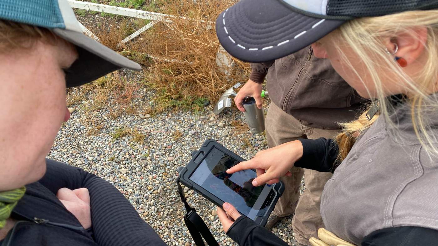
The 4Rivers Geodatabase holds structured data (e.g., percent cover, vegetation treatment strategies), recorded in the field with a system such as ArcGIS Survey123, then hosted in geodatabases for long-term storage and use. These feature classes and attributes of the 4Rivers geodatabase include:

Monitoring

  • Point, line, or area locations where monitoring takes place on a continued basis. These locations should be strategically placed throughout the reporting segments in order to be able to assess broad-scale progress in invasive species treatment and native species recruitment.
    • Date when monitoring occurred
    • Absolute vegetation cover
    • Relative cover of native plants
    • Native species, such as Fremont Cottonwood
    • Invasive species, such as Tamarisk
    • Evidence of natural recruitment

Invasive Species Inventory

  • Areas known to contain invasive plant species within the riparian corridor. Attributes contain information about which invasive species are present and the relative cover thereof.
    • Access
    • Height
    • Owner
    • Shape area, an auto-populated area measurement (in m^2)
    • Other vegetation

Planned Treatments

  • Areas within the riparian corridor where primary treatment, retreatment or active restoration are planned to take place.
    • Type of treatment, such as primary treatment, retreatment, or active revegetation
    • The method of treatment, such as hand, mechanical, or chemical
    • Species planned to be treated, such as tamarisk or Russian olive
    • Species planned to be planted, such as Fremont Cottonwood
    • Year in which the treatment is planned to take place
    • Percent complete
    • Shape area, an auto-populated area measurement (in m^2)

Invasives Treatments

  • Areas within the riparian corridor where primary treatment or retreatment are currently or have already taken place. Primary treatments are the initial hand, mechanical and/or chemical clearing of invasive species. Retreatments are areas where additional treatments are needed after the primary treatment.

Active Revegetation

  • Areas within invasive species treatment areas where active restoration is currently or has already taken place. Active revegetation involves encouragement of native species recruitment through targeted planting.
wccf

Using the Geodatabase for your Project

The 4Rivers geodatabase design is available to any watershed group conducting invasive vegetation management and can serve as a useful starting point for collecting and maintaining invasive plant management data. It can also be modified to suit the needs of other projects.

Monitoring and project data management require investments of time and funding. In the long term, they reduce overall project implementation costs and deliver better (and measurable) restoration results for funders. In addition, the geodatabase data can be used to create project reports for partners and funders. For example, here is a vegetation monitoring report for the White River written by Utah State University's Ecogeomorphology & Topographic Analysis Laboratory, and here is a vegetation monitoring report written for the Desert Rivers Collaborative.

If you are conducting vegetation management and are interested in using or modifying the 4Rivers Geodatabase, please contact us! We are always looking for more groups with whom we can partner.